11
Sep
2022
Brancepeth to Rag Path Wood
Filed under: OtherDistance: 12 Miles
Start: Brancepeth Station Car Park on the Brandon to Bishop Auckland Railway line (GR NZ219382)
Click to view start position on Google Maps
Map: Explorer 308 – Durham and Sunderland
On quite a few earlier waiks I have highlighted some excellent reclamation work which has been carried out in the county, often on old colliery sites or railway lines and indeed this is to some extent a theme on this walk. The difference is that here much of the landscape change has been the result of open cast mining operations This walk is virtually entirely rural, yet a person doing the same route 50 years ago would have seen a totally different picture!
We start at the old railway station of Brancepeth on the Brandon to Bishop Auckland Railway Walk. The station was built in the mid 19th century to serve the estate village of Brancepeth which had been constructed to improve the route into Brancepeth Castle (visited on my Weardale Way – Sunderland Bridge to Page Bank walk). The line was built to carry coal and coke and was conceived by George Hudson who was known as the Railway King. However his empire had collapsed before the line was completed. The line incorporated the Durham City viaduct and was closed to passenger traffic in 1958.
We proceed east along the line, turning to Littlewhite Farm and continuing to Scripton Gill. This narrow wood has: some good birdlife and some fine oak trees of a reasonable age and considering the proximity to Brandon is a pleasant spot. We follow the gill uphill to Pithouse East Plantation which on a clear day is a fine viewpoing over much of northern Durham as well as the nearby Deerness Valley. On the ascent keep an eye or an ear open for the woodpeckers and squirrels that live in the woods through which you pass.
We now begin to drop down towards the Deerness, noting Ushaw College in front of us on the other side of the valley. This is the primary centre of the Roman Catholic Church for the training of priests in Northern England having been established in 1808 after earlier locations at Pontop Hall (passed on my Pontop Pike Walk) as well as Crook Hall near Lanchester.
We emerge at the road frorn New Brancepeth to Esh. New Brancepeth had a large colliery which opened in 1856 and mined coal from a depth of 70 fathoms. It closed in 1953 and for its last few years also mined fluorspar. We now go west to Ragpath Wood. This general area is good for Tree Sparrows which are a threatened species.
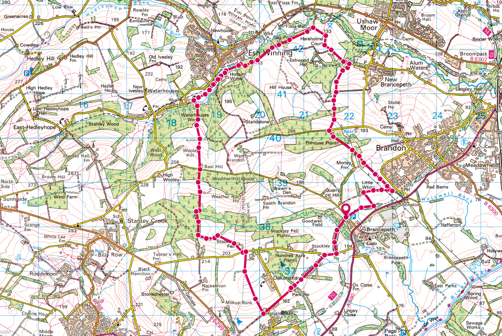
Rag Path Wood
Photograph by Trevor Littlewood / CC BY-SA 2.0
We now enter Ragpath Wood where the road turns sharply downhill to the river. This wood was purchased by the Woodland Trust in 1996 following an approach by concerned local residents regarding its long-term future. It is an Ancient Woodland site which was replanted in 1967 following the old site being felled during WW2. It occupies a site of 31 hectares and currently consists of Scots Pine, Larch, Norway Spruce, Sycamore, Beech and some Oak and Birch. The long term plan is to harvest the softwood and replace it with hardwood and restore the wood to its former glory. The undergrowth is of Heather, Bilberry, Gorse and Broom whilst near the river can be found Wood Anenome, Wood Sorrel, Butterburr and Ransoms. It also contains some fine ancient beech trees along the southern edge of the wood at its westward end. This wood has been developed by the Trust with financial help from Durham County Council, the local Parish Council and Durham City Council and was aided by a grant of £17k from the Heritage Lottery Fund.
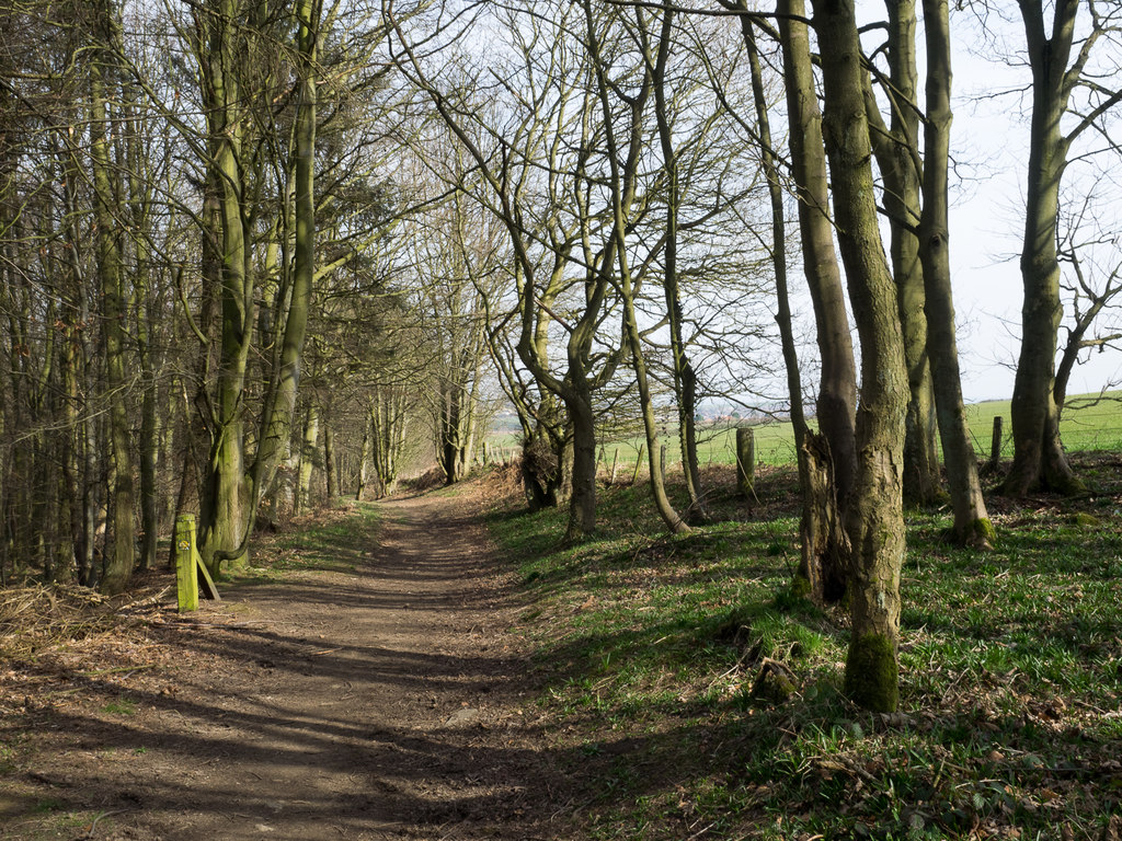
The bridle path which you go through at the southern edge of the wood is thought to be an old Roman road which had defensive purposes and followed the ridge east to west. There was a similar one on the other side of the valley which went down to the site occupied many years later by the monks at Beaurepaire (Bearpark).
We emerge from the wood near the River Deerness with the Deerness Valley Walk on the other side of the river. This railway was opened in 1858 to carry coal out of the valley and had branch lines to New Brancepeth, Cornsay, Stanley Crook (up a steep incline), Hedleyhope and Ushaw Moor and was closed in 1951, except on one day a year when it was open on miners gala day. Esh Winning on the other side derives its name from Esh (a corruption of Ash) and was the place where the coal was won. There has been considerable environmental work carried out here with new plantations and hedgerows and it is through one of these plantations that we go, later passing the site of earlier drift mines to Baal Hill. This unusual name, associated with pagan gods and the Middle East may have a history and indeed there is another Baal Hill near Tunstall Reservoir. However the name may also be a local mining term.
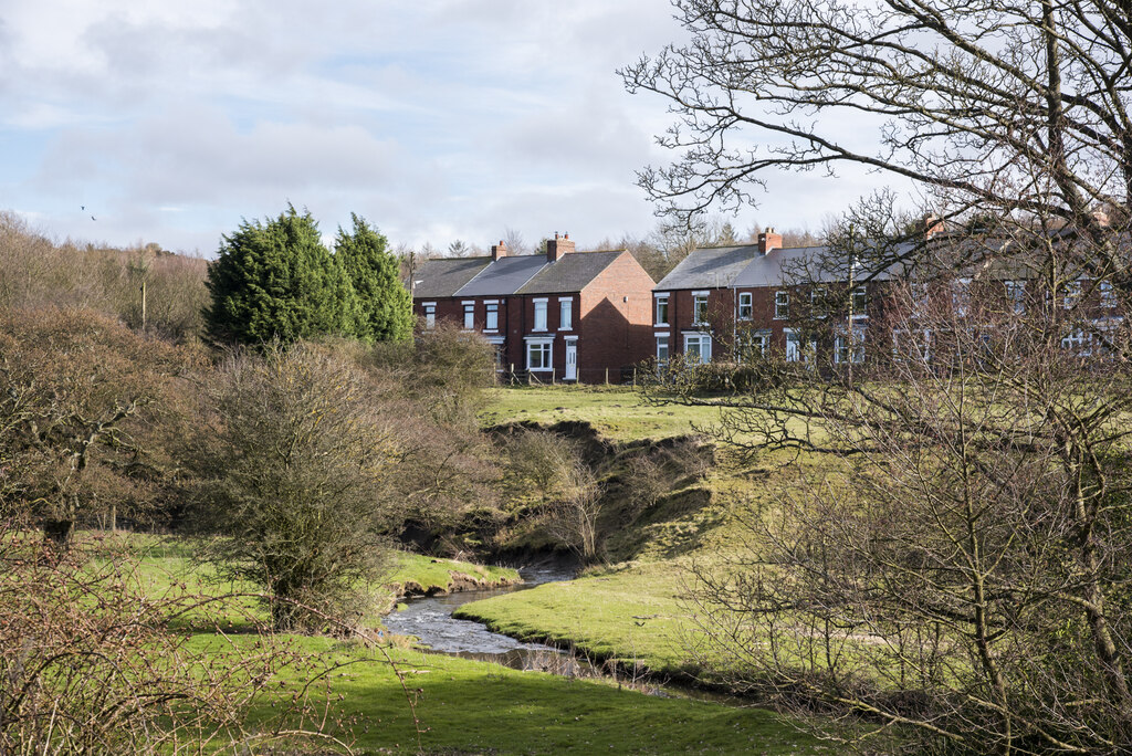
River Deerness at Esh
Photograph by Trevor Littlewood / CC BY-SA 2.0
Stay on the south of the River Deerness passing a row of houses and through an attractive area to reach a footpath leading to Baal Hill (at GR 186408) and climb up for 100 metres. Continue south of Baal Hill and drop down through pleasant woods to two small lakes at Stockley Beck, then turn east to eventually pass Stockley Fell Farm and reach Stockley Lane. Crossing this we go south along the site of Dere Street (with the village of Oakenshaw to the east) and the path is followed to Holland Hall. This is on the site of another Roman road which joined Dere Street about half a mile to the west. We now pass Park House on the line of the Roman road to arrive at Stockley Lane near to the Railway walk.
It is now a short distance back to the start, crossing Stockley Beck, where the valley is now much enlarged. This deep valley formed part of the defences for Brancepeth Castle. Much of the land traversed from Pit House and back from Esh has in the past 30 years been subject to opencast mining and this can be noted on the new stone walls and new hedgerows.