10
Oct
2021
Local Walks in County Durham
Filed under: OtherAs a general rule I do not put walks on the website if they have been covered by a Guide Book. However whilst some guide books can be difficult to be aware of and have little publicity, there are others which are only found if you are on the territory. These two sets of walks fall into this category and the purpose of this entry is to give walkers the opportunity of reading details of the walks before they go to the area.
The first one is a set of walks around the very attractive large village of Wolsingham in Weardale. There is rarely a month goes by that I do not spend some time in Wolsingham as the surrounding countryside is top class and full of interest. Wolsingham Wayfarers have been around for about twenty years and they have produced six leaflets of walks varying in length form about 2 miles to about 13 miles. Each walk has a different agenda in different terrain and the walks have all been well constructed. In the last three years the leaflets have been updated. The combination of the clear maps and route descriptions make route-finding simple, although it is my policy to always have the relevant OS map(s) available. For those from further afield I can warmly recommend that you visit Wolsingham and Weardale which has all the facilities that you may require and keep an eye out for the spotted flycatchers which are found hereabouts. The website will give you any other information that you may require.
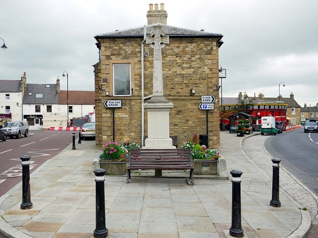
Wolsingham Market Place
Photograph by Andrew Curtis / CC BY-SA 2.0
Shincliffe is an attractive village which is split into two separate villages. The old village is close to the River Wear, whilst High Shincliffe is about half a mile to the south along the A177. There is a lot of heritage in both villages. The Parish Paths partnership which is funded by Durham County Council have produced a leaflet with more than adequate route descriptions which contain four walks starting from Shincliffe village and one walk starting from High Shincliffe at the north end of the village, where there is good parking. These walks are a lesser distance to the Wolsingham walks. To obtain the leaflet it will be necessary to Google ‘Shincliffe Walks’. For those who wish to start in Durham city, this will add about five miles to the walks by following the River Wear to give a walk of about eight miles and be time well spent!
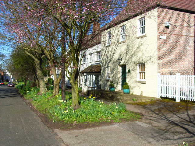
Springtime in Low Shincliffe
Photograph by Oliver Dixon / CC BY-SA 2.0